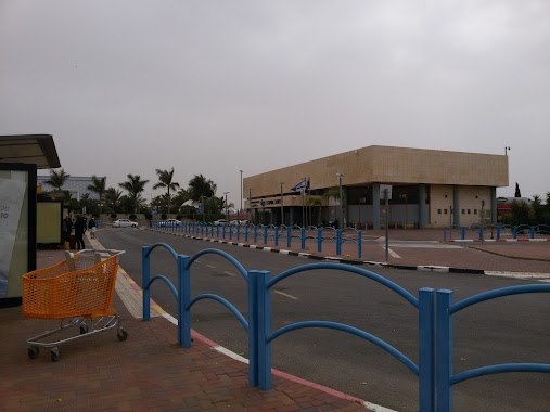
Bus station nearby Ashkelon North Junction
Israel
Bus station nearby Ashkelon North Junction
Ashkelon North Junction
Ашкелон, Израиль
contacts phone
:
+972
Latitude:
31.6805
, Longitude:
34.608813
larger map & directions
read more
nearest Bus station
128 m
צומת אשקלון צפון/כביש 4
Israel
Bus station
read more
128 m
Ashkelon North Junction/Road 4
Israel
Bus station
read more
525 m
ת. רכבת אשקלון
Israel
Bus station
read more
525 m
Ashkelon Railway Station
Israel
Bus station
read more
525 m
Ashkelon Train Station
Ha-Rakevet Street, Ashkelon
Bus station
read more
525 m
ת. רכבת אשקלון
הרכבת, אשקלון
Bus station
read more
525 m
Ashkelon Railway Station
Ha-Rakevet Street, Ashkelon
Bus station
read more
525 m
תחנת רכבת אשקלון
הרכבת, אשקלון
Bus station
read more
621 m
צומת כפר סילבר
Israel
Bus station
read more
703 m
Kfar Silver Junction
Israel
Bus station
read more
1.076 km
Taldor
Israel
Bus station
read more
1.654 km
Commercial Center/HaPlada
Israel
Bus station
read more
1.656 km
כביש 4/פרי אור בית אריזה
Israel
Bus station
read more
1.663 km
HaPlada/HaTa'asiya Boulevard
Israel
Bus station
read more
1.899 km
שדרות מנחם בגין/אבן עזרא
Israel
Bus station
read more
1.899 km
Menachem Begin Boulevard/Ibn Ezra
Israel
Bus station
read more
1.932 km
שביל התקווה/שוהם
Israel
Bus station
read more
2.085 km
David Razi'el/Imanu'el
Israel
Bus station
read more
2.085 km
דוד רזיאל/עמנואל
Israel
Bus station
read more
2.114 km
אהרון קאפח/דוד רזיאל
Israel
Bus station
read more
2.209 km
David Razi'el/Ha'Avoda
Israel
Bus station
read more
2.224 km
Prison
Israel
Bus station
read more
2.334 km
צומת ברכיה/משען
Israel
Bus station
read more
2.399 km
Tsahal/Razi'el
Israel
Bus station
read more
2.413 km
צה''ל/המרכבה
Israel
Bus station
read more
📑
all categories
Accounting
Administrative area level 1
Administrative area level 2
Airport
Amusement park
Aquarium
Art gallery
Atm
Bakery
Bank
Bar
Beauty salon
Bicycle store
Book store
Bowling alley
Bus station
Cafe
Campground
Car dealer
Car rental
Car repair
Car wash
Casino
Cemetery
Church
City hall
Clothing store
Colloquial area
Convenience store
Country
Courthouse
Dentist
Department store
Doctor
Electrician
Electronics store
Embassy
Establishment
Finance
Fire station
Florist
Food
Funeral home
Furniture store
Gas station
General contractor
Grocery or supermarket
Gym
Hair care
Hardware store
Health
Hindu Temple
Home goods store
Hospital
Insurance agency
Intersection
Jewelry store
Laundry
Lawyer
Library
Light rail station
Liquor store
Local government office
Locality
Locksmith
Lodging
Meal delivery
Meal takeaway
Mosque
Movie rental
Movie theater
Moving company
Museum
Natural feature
Neighborhood
Night club
Painter
Park
Parking
Pet store
Pharmacy
Physiotherapist
Place of worship
Plumber
Point of interest
Police
Political
Post office
Premise
Real estate agency
Restaurant
Roofing contractor
Route
Rv park, camping
School
Shoe store
Shopping mall
Spa
Stadium
Storage
Store
Subpremise
Subway station
Supermarket
Synagogue
Taxi stand
Train station
Transit station
Travel agency
University
Veterinary care
Zoo
administrative area level 3
administrative area level 4
sublocality level 1
↑