School nearby בית ספר סביונים כיתת גן
Israel
School nearby בית ספר סביונים כיתת גן
בית ספר סביונים כיתת גן
Kiryat Yam Israel
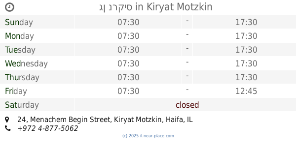
contacts phone
:
+972
Latitude:
32.8570216
, Longitude:
35.0809755
read more
nearest School
163 m
גן צדק
שדרות ארזים, קרית ים
School
read more
163 m
גם נפטון
שדרות ארזים, קרית ים
School
read more
163 m
גן מאדים
שדרות ארזים, קרית ים
School
read more
324 m
גן נופר
תבור 11, קרית ים
School
read more
332 m
ביס סביונים
קרית ים
School
read more
334 m
בית ספר סביונים
Sderot Arazim, Kiryat Yam
School
read more
357 m
גן נוגה
אילנות 10, קרית ים
School
read more
357 m
גן נוגה
Ilanot Street 10, Kiryat Yam
School
read more
491 m
גן ערבה
HaArava Street 50, Kiryat Yam
School
read more
491 m
גן ערבה
הערבה 50, קרית ים
School
read more
506 m
גן צאלון
Ha-Galil Street 2, Kiryat Yam
School
read more
506 m
גן צאלון
הגליל 2, קרית ים
School
read more
551 m
פלא גן
עדולם 27, קרית ים
School
read more
563 m
גן תמר
Adulam Street 17, Kiryat Yam
School
read more
692 m
Школа Альмогим
רח' אצל 10, קרית ים
School
read more
692 m
בה"ס אלמוגים
רח' אצל 10, קרית ים
School
read more
729 m
גן אלמוג
Nili Street 10, Kiryat Yam
School
read more
729 m
גן שונית
Nili Street 10, Kiryat Yam
School
read more
877 m
גן כוכב
HaRambam Street 16, Kiryat Yam
School
read more
877 m
גן כוכב
הרמב"ם 16, קרית ים
School
read more
932 m
גן סחלב
Tamar Street 2, Kiryat Yam
School
read more
1.008 km
גן נרקיס
מנחם בגין 24, קרית מוצקין
School
read more
1.008 km
גן נרקיס
Menachem Begin Street 24, Kiryat Motzkin
School
read more
1.017 km
בי"ס עליזה ומנחם בגין
מנחם בגין 26, קרית מוצקין
School
read more
1.322 km
Amirim School
Kiryat Yam
School
read more
📑
all categories
Accounting
Administrative area level 1
Administrative area level 2
Airport
Amusement park
Aquarium
Art gallery
Atm
Bakery
Bank
Bar
Beauty salon
Bicycle store
Book store
Bowling alley
Bus station
Cafe
Campground
Car dealer
Car rental
Car repair
Car wash
Casino
Cemetery
Church
City hall
Clothing store
Colloquial area
Convenience store
Country
Courthouse
Dentist
Department store
Doctor
Electrician
Electronics store
Embassy
Establishment
Finance
Fire station
Florist
Food
Funeral home
Furniture store
Gas station
General contractor
Grocery or supermarket
Gym
Hair care
Hardware store
Health
Hindu Temple
Home goods store
Hospital
Insurance agency
Intersection
Jewelry store
Laundry
Lawyer
Library
Light rail station
Liquor store
Local government office
Locality
Locksmith
Lodging
Meal delivery
Meal takeaway
Mosque
Movie rental
Movie theater
Moving company
Museum
Natural feature
Neighborhood
Night club
Painter
Park
Parking
Pet store
Pharmacy
Physiotherapist
Place of worship
Plumber
Point of interest
Police
Political
Post office
Premise
Real estate agency
Restaurant
Roofing contractor
Route
Rv park, camping
School
Shoe store
Shopping mall
Spa
Stadium
Storage
Store
Subpremise
Subway station
Supermarket
Synagogue
Taxi stand
Train station
Transit station
Travel agency
University
Veterinary care
Zoo
administrative area level 3
administrative area level 4
sublocality level 1
↑