Restaurant nearby מסעדת אבו ראזי
Coronavirus disease (COVID-19) Situation
confirmed cases
4841772
deaths
12707
Israel
Restaurant nearby מסעדת אבו ראזי
מסעדת אבו ראזי
ירכא, Yarka, Израиль
contacts phone
:
+972 4-694-4527
Latitude:
32.954277
, Longitude:
35.181924
larger map & directions
read more
nearest Restaurant
29 m
טאבון ופיצה סמי
ירכא
Restaurant
read more
72 m
בורגר ראנץ' ירכא
גאיה סנטר, ירכא
Restaurant
read more
304 m
McDonald's
קניון כנעאן,, Yarka
Restaurant
read more
304 m
Макдоналдс
קניון כנעאן,, Yarka
Restaurant
read more
319 m
אוכל דרוזי
קניון קנעאן, ג'וליס
Restaurant
read more
319 m
Foodruze
קניון קנעאן, ג'וליס
Restaurant
read more
533 m
Giraf
כביש 8533, ירכא
Restaurant
read more
533 m
Giraf
ירכא
Restaurant
read more
842 m
אלבוסתן
8533, 35.174207.32.950359, Yarka
Restaurant
read more
873 m
שיפודי ג'נג'י
ירכא
Restaurant
read more
894 m
Caf'e Mazaya مزايا
Yarka
Restaurant
read more
900 m
בורקס טורקי ירכא
ירכא
Restaurant
read more
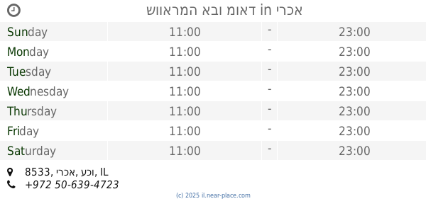
905 m
מסעדת שווארמה ופלאפל האחים
Yarka
Restaurant
read more
939 m
מרכז סרקס
8533, Yarka
Restaurant
read more
1.022 km
Druz Sweets Ala Saraia
Yarka
Restaurant
read more
1.029 km
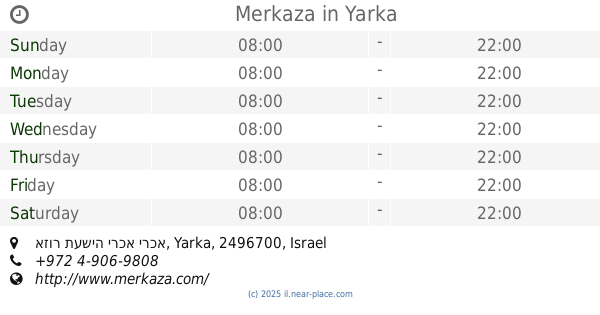
Merkaza
אזור תעשיה ירכא ירכא
Shopping mall
Supermarket
Grocery or supermarket
Restaurant
Food
Point of interest
Store
Establishment
read more
1.03 km
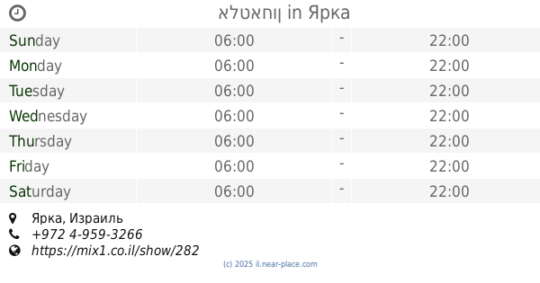
אלטאחון
Yarka
Restaurant
read more
1.03 km
אלטאחון
ירכא
Restaurant
read more
1.047 km
Burger me بورجر مي בורגר מי
מרכז מסחרי אלח'יר, ירכא
Restaurant
read more
1.047 km
בורגר מי
ירכא
Restaurant
read more
1.047 km
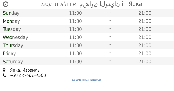
מסעדת אלודיאן مشاوي الوديان
Yarka
Restaurant
read more
1.211 km
Shawarma Abu Jawad
8533, Yarka
Restaurant
read more
1.211 km
שווארמה אבו מואד
8533, ירכא
Restaurant
read more
1.23 km
Sambusak village
Abu Snan
Restaurant
read more
1.23 km
סמבוסק הכפר
אבו סנאן
Restaurant
read more
📑
all categories
Accounting
Administrative area level 1
Administrative area level 2
Airport
Amusement park
Aquarium
Art gallery
Atm
Bakery
Bank
Bar
Beauty salon
Bicycle store
Book store
Bowling alley
Bus station
Cafe
Campground
Car dealer
Car rental
Car repair
Car wash
Casino
Cemetery
Church
City hall
Clothing store
Colloquial area
Convenience store
Country
Courthouse
Dentist
Department store
Doctor
Electrician
Electronics store
Embassy
Establishment
Finance
Fire station
Florist
Food
Funeral home
Furniture store
Gas station
General contractor
Grocery or supermarket
Gym
Hair care
Hardware store
Health
Hindu Temple
Home goods store
Hospital
Insurance agency
Intersection
Jewelry store
Laundry
Lawyer
Library
Light rail station
Liquor store
Local government office
Locality
Locksmith
Lodging
Meal delivery
Meal takeaway
Mosque
Movie rental
Movie theater
Moving company
Museum
Natural feature
Neighborhood
Night club
Painter
Park
Parking
Pet store
Pharmacy
Physiotherapist
Place of worship
Plumber
Point of interest
Police
Political
Post office
Premise
Real estate agency
Restaurant
Roofing contractor
Route
Rv park, camping
School
Shoe store
Shopping mall
Spa
Stadium
Storage
Store
Subpremise
Subway station
Supermarket
Synagogue
Taxi stand
Train station
Transit station
Travel agency
University
Veterinary care
Zoo
administrative area level 3
administrative area level 4
sublocality level 1
↑