Restaurant nearby האיטלקי בחוף
Coronavirus disease (COVID-19) Situation
confirmed cases
4841772
deaths
12707
Israel
Restaurant nearby האיטלקי בחוף
האיטלקי בחוף
5, Onyon Street, Ashdod, Ashkelon, IL Израиль
contacts phone
:
+972 77-667-0323
Latitude:
31.7970728
, Longitude:
34.6309873
larger map & directions
read more
nearest Restaurant
7 m
החוף
Onyon Street 5, Ashdod
Restaurant
read more
110 m
האיטלקי בחוף אשדוד
אוניון 5, אשדוד
Restaurant
read more
205 m
Corsar
מרינה אשדוד, אוניון 1, אשדוד
Restaurant
read more
363 m
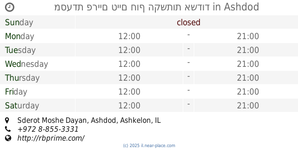
מסעדת פריים טיים חוף הקשתות אשדוד
Sderot Moshe Dayan, Ashdod
Restaurant
Food
Point of interest
Establishment
read more
402 m
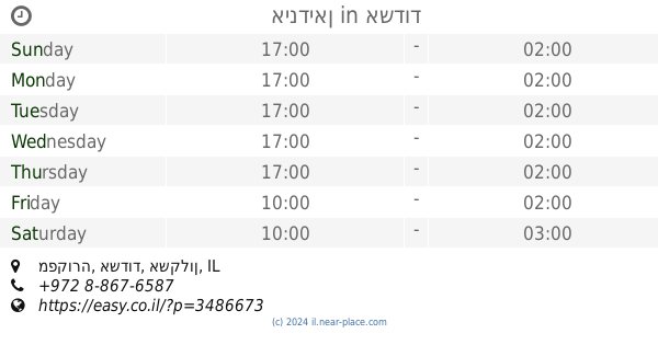
אינדיאן
Mafkura Street, Ashdod
Restaurant
read more
402 m
אינדיאן
מפקורה, אשדוד
Restaurant
read more
429 m
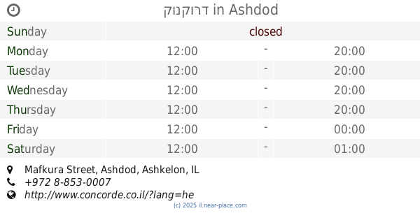
קונקורד
Mafkura Street, Ashdod
Restaurant
read more
429 m
קונקורד
מפקורה, אשדוד
Restaurant
read more
434 m
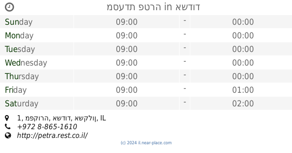
מסעדת פטרה
מפקורה 1, אשדוד
Restaurant
read more
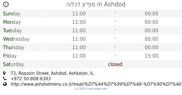
693 m
הולנד צ'יפס
Rogozin Street 72, Ashdod
Restaurant
read more
833 m
דדיאני, אוכל גרוזיני
הבנים 5, אשדוד
Restaurant
read more
876 m
פרי מור בעיר
סי מול, הגדוד העברי 6, אשדוד
Restaurant
read more
925 m
Waffle Bar Ashdod
Tsahal Street 1, Ashdod
Restaurant
read more
929 m
מסעדת שיפודים גן העיר
Ashdod
Restaurant
read more
930 m
Bleecker Bakery Ashdod
Ha-Gdud ha-Ivri Street, Ashdod
Restaurant
read more
930 m
בורגרס בר אשדוד
Ha-Gdud ha-Ivri Street, Ashdod
Restaurant
read more
931 m
Hummus Cohen
Tsahal Street 1, Ashdod
Restaurant
read more
937 m
אצה אשדוד
Ha-Gdud ha-Ivri Street, Ashdod
Restaurant
read more
939 m
סושי בר-אצה
אשדוד
Restaurant
read more
946 m
Pizza Fargo
Ha-Gdud ha-Ivri Street, Ashdod
Restaurant
read more
948 m
קופיקס
אשדוד
Restaurant
read more
952 m
Ресторан Дежавю
Ashdod
Restaurant
read more
962 m
בני הדייג אשדוד
גן העיר, הגדוד העברי 5, אשדוד
Restaurant
read more
1.006 km
באן סושי אשדוד
תחנה מרכזית, Ashdod
Restaurant
read more
1.069 km
Макдоналдс
קניון הסיטי, שדרות מנחם בגין, אשדוד
Restaurant
read more
📑
all categories
Accounting
Administrative area level 1
Administrative area level 2
Airport
Amusement park
Aquarium
Art gallery
Atm
Bakery
Bank
Bar
Beauty salon
Bicycle store
Book store
Bowling alley
Bus station
Cafe
Campground
Car dealer
Car rental
Car repair
Car wash
Casino
Cemetery
Church
City hall
Clothing store
Colloquial area
Convenience store
Country
Courthouse
Dentist
Department store
Doctor
Electrician
Electronics store
Embassy
Establishment
Finance
Fire station
Florist
Food
Funeral home
Furniture store
Gas station
General contractor
Grocery or supermarket
Gym
Hair care
Hardware store
Health
Hindu Temple
Home goods store
Hospital
Insurance agency
Intersection
Jewelry store
Laundry
Lawyer
Library
Light rail station
Liquor store
Local government office
Locality
Locksmith
Lodging
Meal delivery
Meal takeaway
Mosque
Movie rental
Movie theater
Moving company
Museum
Natural feature
Neighborhood
Night club
Painter
Park
Parking
Pet store
Pharmacy
Physiotherapist
Place of worship
Plumber
Point of interest
Police
Political
Post office
Premise
Real estate agency
Restaurant
Roofing contractor
Route
Rv park, camping
School
Shoe store
Shopping mall
Spa
Stadium
Storage
Store
Subpremise
Subway station
Supermarket
Synagogue
Taxi stand
Train station
Transit station
Travel agency
University
Veterinary care
Zoo
administrative area level 3
administrative area level 4
sublocality level 1
↑