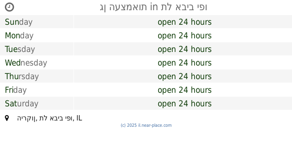
Park nearby Brender Garden
Israel
Park nearby Brender Garden
Brender Garden
Tel Aviv-Jaffa Israel
contacts phone
:
+972
Latitude:
32.0937265
, Longitude:
34.7819333
read more
nearest Park
138 m
גן קוביות גן ילדים בצפון תל אביב
שמעון התרסי 41, תל אביב יפו
Park
read more
138 m
גן קוביות גן ילדים בצפון תל אביב
Shim'on ha-Tarsi Street 41, Tel Aviv-Yafo
Park
read more
177 m
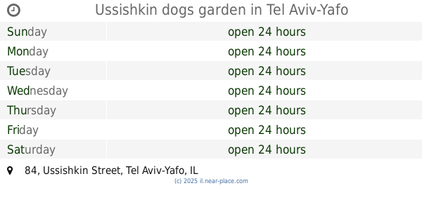
Ussishkin dogs garden
Ussishkin Street 84, Tel Aviv-Yafo
Park
read more
334 m
רשות נחל הירקון
אוסישקין 9, תל אביב יפו
Park
read more
432 m
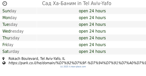
Сад Ха-Баним
Rokach Boulevard, Tel Aviv-Yafo
Park
read more
433 m
Arba Aratsot St 26
Tel Aviv-Yafo
Park
read more
438 m
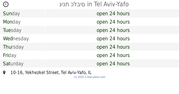
גינת כלבים
Yekhezkel Street 10-16, Tel Aviv-Yafo
Park
read more
471 m
Gimpel Garden
Tel Aviv-Yafo
Park
read more
538 m
Парк Аяркон лодочная станция
Tel Aviv-Yafo
Park
read more
566 m
גינת היוצר
שדרות היוצר 2-14, תל אביב יפו
Park
read more
576 m
HaYotser Garden
HaYotser Avenue 2-14, Tel Aviv-Yafo
Park
read more
685 m
גן גריזים
גריזים 4, תל אביב יפו
Park
read more
731 m
פינת כלבים אמסטרדם
תל אביב יפו
Park
read more
873 m
פארק הדינוזאורים
Hangar, 11, Kanfei Nesharim Street 1, Herzliya
Park
read more
902 m
Tel Aviv Port Park
Tel Aviv-Yafo
Park
read more
915 m
מתקן בפארק שעשועים
14, Maharal Street 2, Tel Aviv-Yafo
Park
read more
931 m
Pollak Garden
Tel Aviv-Yafo
Park
read more
937 m
Hilton lawn
Tel Aviv-Yafo
Park
read more
979 m
Moshe Cohen Garden
Тель-Авив
Park
read more
981 m
גן החובבים
תל אביב יפו
Park
read more
1.01 km
גן העצמאות
הירקון, תל אביב יפו
Park
read more
1.01 km
Park Niepodległości
HaYarkon Street, Tel Aviv-Yafo
Park
read more
1.117 km
Germanis Garden
Tel Aviv-Jaffa
Park
read more
1.189 km
Gan Avraham
Hei be-Iyar Street 38-48, Tel Aviv-Yafo
Park
read more
1.306 km
גן גולדשטיין גורן
תל אביב יפו
Park
read more
📑
all categories
Accounting
Administrative area level 1
Administrative area level 2
Airport
Amusement park
Aquarium
Art gallery
Atm
Bakery
Bank
Bar
Beauty salon
Bicycle store
Book store
Bowling alley
Bus station
Cafe
Campground
Car dealer
Car rental
Car repair
Car wash
Casino
Cemetery
Church
City hall
Clothing store
Colloquial area
Convenience store
Country
Courthouse
Dentist
Department store
Doctor
Electrician
Electronics store
Embassy
Establishment
Finance
Fire station
Florist
Food
Funeral home
Furniture store
Gas station
General contractor
Grocery or supermarket
Gym
Hair care
Hardware store
Health
Hindu Temple
Home goods store
Hospital
Insurance agency
Intersection
Jewelry store
Laundry
Lawyer
Library
Light rail station
Liquor store
Local government office
Locality
Locksmith
Lodging
Meal delivery
Meal takeaway
Mosque
Movie rental
Movie theater
Moving company
Museum
Natural feature
Neighborhood
Night club
Painter
Park
Parking
Pet store
Pharmacy
Physiotherapist
Place of worship
Plumber
Point of interest
Police
Political
Post office
Premise
Real estate agency
Restaurant
Roofing contractor
Route
Rv park, camping
School
Shoe store
Shopping mall
Spa
Stadium
Storage
Store
Subpremise
Subway station
Supermarket
Synagogue
Taxi stand
Train station
Transit station
Travel agency
University
Veterinary care
Zoo
administrative area level 3
administrative area level 4
sublocality level 1
↑