Natural feature nearby גן ירון
Israel
Natural feature nearby גן ירון
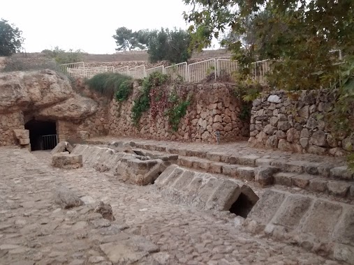
גן ירון
גן ירון, זכרון יעקב
contacts phone
:
+972
Latitude:
32.5693271
, Longitude:
34.9675452
larger map & directions
read more
nearest Natural feature
Ярон Гарден
Зихрон-Яаков
Natural feature
read more
332 m
Har Zichrona
Zichron Ja'akov
Natural feature
read more
2.263 km
Ya'ar Alona Reserve
Zikhron Ya'akov
Natural feature
read more
2.263 km
שמורת יער אלונה
זכרון יעקב
Natural feature
read more
2.297 km
מצפה גן ישראל
זכרון יעקב
Natural feature
read more
2.297 km
Gan Israel Observation Point
Zihron Ya'akov
Natural feature
read more
2.524 km
Jubnah Hadar Lookout Point
Zihron Ya'akov
Natural feature
read more
2.524 km
מצפור ג'ובנה הדר
זכרון יעקב
Natural feature
read more
2.533 km
Giv'at Eden
Zichron Ja'akov
Natural feature
read more
2.596 km
Ein Tsur
Израиль
Natural feature
read more
2.596 km
Ein Tsur
Israel
Natural feature
read more
2.679 km
`En Zur
ישראל
Natural feature
read more
2.679 km
`En Zur
Израиль
Natural feature
read more
2.783 km
מצפה זיו
זכרון יעקב
Natural feature
read more
2.783 km
Ziv Observation Point
Zihron Ya'akov
Natural feature
read more
3.225 km
Ramat HaNadiv
Israel
Natural feature
read more
3.225 km
רמת הנדיב
ישראל
Natural feature
read more
3.59 km
Har Horeshan
Израиль
Natural feature
read more
3.59 km
Har Horeshan
ישראל
Natural feature
read more
3.963 km
ניקבה תת קרקעית
ישראל
Natural feature
read more
3.963 km
Underground Tunnel
Izrael
Natural feature
read more
4.086 km
Cukej Chotem
Izrael
Natural feature
read more
4.086 km
Cukej Chotem
ישראל
Natural feature
read more
4.578 km
Giv`ot Telimon
Israel
Natural feature
read more
4.69 km
`En Bat Shelomo
Израиль
Natural feature
read more
📑
all categories
Accounting
Administrative area level 1
Administrative area level 2
Airport
Amusement park
Aquarium
Art gallery
Atm
Bakery
Bank
Bar
Beauty salon
Bicycle store
Book store
Bowling alley
Bus station
Cafe
Campground
Car dealer
Car rental
Car repair
Car wash
Casino
Cemetery
Church
City hall
Clothing store
Colloquial area
Convenience store
Country
Courthouse
Dentist
Department store
Doctor
Electrician
Electronics store
Embassy
Establishment
Finance
Fire station
Florist
Food
Funeral home
Furniture store
Gas station
General contractor
Grocery or supermarket
Gym
Hair care
Hardware store
Health
Hindu Temple
Home goods store
Hospital
Insurance agency
Intersection
Jewelry store
Laundry
Lawyer
Library
Light rail station
Liquor store
Local government office
Locality
Locksmith
Lodging
Meal delivery
Meal takeaway
Mosque
Movie rental
Movie theater
Moving company
Museum
Natural feature
Neighborhood
Night club
Painter
Park
Parking
Pet store
Pharmacy
Physiotherapist
Place of worship
Plumber
Point of interest
Police
Political
Post office
Premise
Real estate agency
Restaurant
Roofing contractor
Route
Rv park, camping
School
Shoe store
Shopping mall
Spa
Stadium
Storage
Store
Subpremise
Subway station
Supermarket
Synagogue
Taxi stand
Train station
Transit station
Travel agency
University
Veterinary care
Zoo
administrative area level 3
administrative area level 4
sublocality level 1
↑