Mosque nearby مسجد عز الدين القسام
Israel
Mosque nearby مسجد عز الدين القسام
مسجد عز الدين القسام
Haret Al Hwshai
contacts phone
:
+972
Latitude:
32.4850289
, Longitude:
35.2260226
larger map & directions
read more
nearest Mosque
369 m
Maaz bin Jabal Mosque
,جنين ,اليامون
Mosque
read more
417 m
مسجد القديم
بلدة اليامون
Mosque
read more
517 m
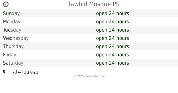
Tawhid Mosque
بلدة اليامون
Mosque
read more
858 m
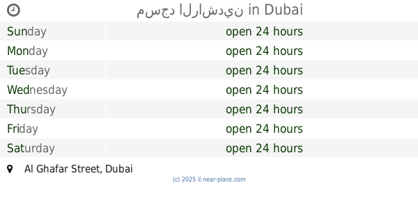
مسجد الراشدين
Al Ghafar Street, Dubai
Mosque
read more
879 m
مسجد الأرقم
Mosquée Al Arkam, Blida
Mosque
read more
1.055 km
Tariq Ibn Ziad mosque
الحارة الشرقية
Mosque
read more
1.596 km
مسجد الصالحين
مسجد الصالحين -اليامون
Mosque
read more
6.627 km
מקאם שייח' חמדאן
מעלה עירון
Mosque
read more
6.978 km
مسجد صلاح الدين الايوبي
شارع تحت السكة
Mosque
read more
7.324 km
مسجد الهجرة
Umm al-Fahm
Mosque
read more
7.324 km
مسجد الهجرة
אום אל-פחם
Mosque
read more
7.771 km
مسجد الغزالي - العيون
אום אל-פחם
Mosque
read more
8.159 km
Farouk Mosque
Ma'ale Iron
Mosque
read more
8.187 km
مسجد اب تيميه الباطن
ابن الثير،، أم الفحم
Mosque
read more
8.928 km
South Hara Mosque
Ma'ale Iron
Mosque
read more
8.955 km
מסגד עראק א שבאב
אום אל-פחם
Mosque
read more
9.274 km
Mosque of Omar ibn al-Khattab
Ma'ale Iron
Mosque
read more
9.785 km
מסגד ביאדה
מעלה עירון
Mosque
read more
10.235 km
מסגד שכונה אגבריה
מעלה עירון
Mosque
read more
10.252 km
Khur Saqr Mosque
Ar'ara
Mosque
read more
10.509 km
Wadi al-Kasab Mosque
Ar'ara
Mosque
read more
12.767 km
המסגד הישן
בסמ"ה
Mosque
read more
13.613 km
Mosque of Omar bin Abdul Aziz
Ar'ara
Mosque
read more
14.283 km
מסגד שאפעי
ערערה
Mosque
read more
16.867 km
Old mosque
Shunem
Mosque
read more
📑
all categories
Accounting
Administrative area level 1
Administrative area level 2
Airport
Amusement park
Aquarium
Art gallery
Atm
Bakery
Bank
Bar
Beauty salon
Bicycle store
Book store
Bowling alley
Bus station
Cafe
Campground
Car dealer
Car rental
Car repair
Car wash
Casino
Cemetery
Church
City hall
Clothing store
Colloquial area
Convenience store
Country
Courthouse
Dentist
Department store
Doctor
Electrician
Electronics store
Embassy
Establishment
Finance
Fire station
Florist
Food
Funeral home
Furniture store
Gas station
General contractor
Grocery or supermarket
Gym
Hair care
Hardware store
Health
Hindu Temple
Home goods store
Hospital
Insurance agency
Intersection
Jewelry store
Laundry
Lawyer
Library
Light rail station
Liquor store
Local government office
Locality
Locksmith
Lodging
Meal delivery
Meal takeaway
Mosque
Movie rental
Movie theater
Moving company
Museum
Natural feature
Neighborhood
Night club
Painter
Park
Parking
Pet store
Pharmacy
Physiotherapist
Place of worship
Plumber
Point of interest
Police
Political
Post office
Premise
Real estate agency
Restaurant
Roofing contractor
Route
Rv park, camping
School
Shoe store
Shopping mall
Spa
Stadium
Storage
Store
Subpremise
Subway station
Supermarket
Synagogue
Taxi stand
Train station
Transit station
Travel agency
University
Veterinary care
Zoo
administrative area level 3
administrative area level 4
sublocality level 1
↑