Lodging nearby אחוזת עטרה
Israel
Lodging nearby אחוזת עטרה
אחוזת עטרה
71, HaPalmach Street, Safed, Tzfat, IL Israel
contacts phone
:
+972
Latitude:
32.9656672
, Longitude:
35.4958924
larger map & directions
read more
nearest Lodging
24 m
Atara Lodge
HaPalmach Street 71, Safed
Lodging
read more
103 m
Artist Quarter Guesthouse B&B
סימטה י׳׳ז 43 Safed IL 13223, Yud Zayin Street, Safed
Lodging
read more
105 m
O-live Pelech Harimmon
55 Arlozorov St, Safed
Lodging
read more
114 m
צימר בוסתר ספרדי
Safed
Lodging
read more
138 m
Dream of Galilee
Arlozorov Street 150, Safed
Lodging
read more
142 m
הבית בעתיקה
Arlozorov Street 107, Safed
Lodging
read more
145 m
טל רזידנס
סמטת יח 29, צפת
Lodging
read more
175 m
Villa Carmi
Tet Zayin Street 41, Safed
Lodging
read more
213 m
החאן הכחול
יאנוש קורצ'אק, צפת
Lodging
read more
241 m
וילה באינטרנט
ירושלים 114, צפת
Lodging
read more
249 m
King George of michael
כ"א, צפת
Lodging
read more
254 m
הפלמ"ח 35
הפלמ"ח 35, צפת
Lodging
read more
254 m
Apalmach35
HaPalmach Street 35, Safed
Lodging
read more
280 m
יאיר
צפת
Lodging
read more
321 m
Montefiore Courtyard
Montefiore Street Safed IL 1324810, Montefiore Street, Safed
Lodging
read more
330 m
Ahuzat Andrea
Jerusalem Street 60, Safed
Lodging
read more
387 m
ויטראז' לאקז'רי רזידנס
חת"ם סופר, צפת
Lodging
read more
458 m
Yehudit's Apartment Safed
Jerusalem Street 38, Safed
Lodging
read more
461 m
אחוזת קארו
תרפ"ט 40, צפת
Lodging
read more
476 m
מלון המצודה
ירושלים 37, צפת
Lodging
read more
507 m
מרכזי
צפת
Lodging
read more
584 m
Zimmer nobility sky
Jerusalem Street 24, Safed
Lodging
read more
672 m
Pninat Chen
רדב"ז 11, Safed
Lodging
read more
727 m
Ascent of Tzfat
האר"י 2, צפת
Lodging
read more
1.25 km
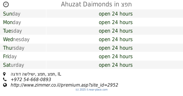
Ahuzat Daimonds
הגדוד השלישי, צפת
Lodging
read more
📑
all categories
Accounting
Administrative area level 1
Administrative area level 2
Airport
Amusement park
Aquarium
Art gallery
Atm
Bakery
Bank
Bar
Beauty salon
Bicycle store
Book store
Bowling alley
Bus station
Cafe
Campground
Car dealer
Car rental
Car repair
Car wash
Casino
Cemetery
Church
City hall
Clothing store
Colloquial area
Convenience store
Country
Courthouse
Dentist
Department store
Doctor
Electrician
Electronics store
Embassy
Establishment
Finance
Fire station
Florist
Food
Funeral home
Furniture store
Gas station
General contractor
Grocery or supermarket
Gym
Hair care
Hardware store
Health
Hindu Temple
Home goods store
Hospital
Insurance agency
Intersection
Jewelry store
Laundry
Lawyer
Library
Light rail station
Liquor store
Local government office
Locality
Locksmith
Lodging
Meal delivery
Meal takeaway
Mosque
Movie rental
Movie theater
Moving company
Museum
Natural feature
Neighborhood
Night club
Painter
Park
Parking
Pet store
Pharmacy
Physiotherapist
Place of worship
Plumber
Point of interest
Police
Political
Post office
Premise
Real estate agency
Restaurant
Roofing contractor
Route
Rv park, camping
School
Shoe store
Shopping mall
Spa
Stadium
Storage
Store
Subpremise
Subway station
Supermarket
Synagogue
Taxi stand
Train station
Transit station
Travel agency
University
Veterinary care
Zoo
administrative area level 3
administrative area level 4
sublocality level 1
↑