Lodging nearby Bassam Sarhan
Israel
Lodging nearby Bassam Sarhan
Bassam Sarhan
Intersection East, Majd al-Krum, Israel
contacts phone
:
+972
Latitude:
32.9182787
, Longitude:
35.2605916
larger map & directions
read more
nearest Lodging
295 m
עבד אללה שחאדה
Unnamed Road, Majd al-Krum
Lodging
Point of interest
Establishment
read more
1.344 km
אלטאהר שהאב אלדין
מג'ד אל-כרום
Lodging
read more
1.344 km
אלטאהר שהאב אלדין
Majd al-Krum
Lodging
read more
1.396 km
מוחמד מנאע
מוחמד מנאע, Majd al-Krum
Lodging
Point of interest
Establishment
read more
1.439 km
סעיד כיואן אבו חסן
כניסה מערבית, Majd al-Krum
Lodging
Point of interest
Establishment
read more
1.797 km
Kibbutz Tuval Country Lodging
Tuval
Lodging
read more
1.797 km
קיבוץ תובל אירוח כפרי
תובל
Lodging
read more
2.036 km
צימר צורית
הסחלב 19, צורית
Lodging
read more
2.036 km
צימר צורית
Ha-Sakhlav Street 19, Tzurit
Lodging
read more
2.19 km
Zimmer In The Garden
Ma'ale Ort Street 82, Karmiel
Lodging
read more
2.51 km
Aluteva
Karmiel
Lodging
Point of interest
Establishment
read more
2.51 km
אלוטבע
כרמיאל
Lodging
read more
2.559 km
Agradble Habitacion en Karmiel
Hativat Carmeli Street 64/1 1, Karmiel
Lodging
Point of interest
Establishment
read more
2.856 km
בית נורית
אופיר 1, צורית
Lodging
read more
2.856 km
Beit Nurit
Ofir Street 1, Tzurit
Lodging
read more
2.922 km
קופרמן'ס
Ramim Street 61, Karmiel
Lodging
Point of interest
Establishment
read more
2.93 km
דירת אירוח מהנשמה צימר בכרמיאל
מישעול, HaSavyonim 29א, Karmiel
Lodging
Point of interest
Establishment
read more
3.8 km
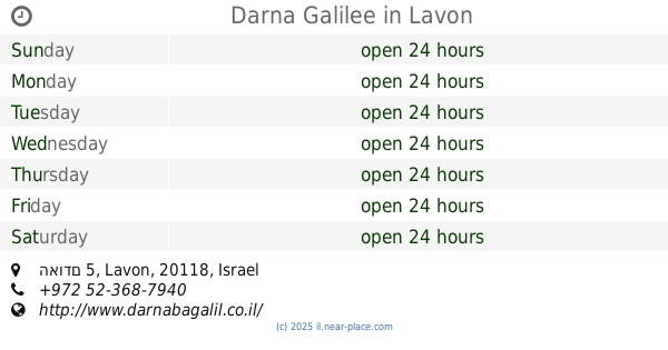
דארנא בגליל
Odem Street 5, Lavon
Lodging
Point of interest
Establishment
read more
3.831 km
Shmulik Galilee
13, Leshem Street, Lavon
Lodging
read more
3.831 km
Shmulik Galilee
Leshem Street 13, Lavon
Lodging
Point of interest
Establishment
read more
3.832 km
דארנא בגליל
האודם 5, לבון
Lodging
read more
3.832 km
Darna Galilee
האודם 5, Lavon
Lodging
read more
3.844 km
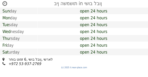
בין השמשות
רחוב טופז 6, ישוב לבון
Lodging
read more
3.881 km
בין השמשות
Lavon
Lodging
read more
3.881 km
בין השמשות
לבון
Lodging
read more
📑
all categories
Accounting
Administrative area level 1
Administrative area level 2
Airport
Amusement park
Aquarium
Art gallery
Atm
Bakery
Bank
Bar
Beauty salon
Bicycle store
Book store
Bowling alley
Bus station
Cafe
Campground
Car dealer
Car rental
Car repair
Car wash
Casino
Cemetery
Church
City hall
Clothing store
Colloquial area
Convenience store
Country
Courthouse
Dentist
Department store
Doctor
Electrician
Electronics store
Embassy
Establishment
Finance
Fire station
Florist
Food
Funeral home
Furniture store
Gas station
General contractor
Grocery or supermarket
Gym
Hair care
Hardware store
Health
Hindu Temple
Home goods store
Hospital
Insurance agency
Intersection
Jewelry store
Laundry
Lawyer
Library
Light rail station
Liquor store
Local government office
Locality
Locksmith
Lodging
Meal delivery
Meal takeaway
Mosque
Movie rental
Movie theater
Moving company
Museum
Natural feature
Neighborhood
Night club
Painter
Park
Parking
Pet store
Pharmacy
Physiotherapist
Place of worship
Plumber
Point of interest
Police
Political
Post office
Premise
Real estate agency
Restaurant
Roofing contractor
Route
Rv park, camping
School
Shoe store
Shopping mall
Spa
Stadium
Storage
Store
Subpremise
Subway station
Supermarket
Synagogue
Taxi stand
Train station
Transit station
Travel agency
University
Veterinary care
Zoo
administrative area level 3
administrative area level 4
sublocality level 1
↑