Health nearby ליהיא לייט
Coronavirus disease (COVID-19) Situation
confirmed cases
4841772
deaths
12707
Israel
Health nearby ליהיא לייט
ליהיא לייט
1, Me'ir Dankner Street, Petah Tikva, Petach Tikva, IL Израиль
contacts phone
:
+972 77-957-7070
website:
facebook.com
Latitude:
32.0917025
, Longitude:
34.8712016
larger map & directions
read more
nearest Health
259 m
Медицинский Центр им. Ицхака Рабина, Израиль, международный отдел +972-36036654
Zeev Jabotinsky Street 39, Petah Tikva
Hospital
Health
Point of interest
Establishment
read more
395 m
מרכז רפואי רבין (בילינסון והשרון)
Jabotinski Street 39, Petah Tikva
Hospital
Health
Point of interest
Establishment
read more
459 m
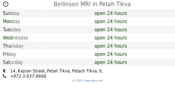
Beilinson MRI
Kaplan Street 14, Petah Tikva
Hospital
Health
Point of interest
Establishment
read more
616 m
טופ בילינסון- מלון רפואי
Mota Gur Street 4, Petah Tikva
Hospital
Health
Point of interest
Establishment
read more
694 m
Dina Academic School for Nursing
Petah Tikva
Health
read more
750 m
אור העין
שמשון 3, פתח תקווה
Health
read more
894 m
שי לוינגר פסיכולוג קליני
תור הזהב 1, פתח תקווה
Health
read more
923 m
דר שמש תמר
Moshe Dayan Street 14, Petah Tikva
Dentist
Health
Point of interest
Establishment
read more
982 m
Achievement Centre - Educational Assessment and Diagnosis Fsicodidkti
Moshe Dayan Street 16, Petah Tikva
Health
read more
1.016 km
בלהה רייפן - פסיכוטרפיסטית טראנספרסונלית
דגניה 10, פתח תקווה
Health
read more
1.038 km
מתחילים מחדש
Kaplan Street 40, Petah Tikva
Hospital
Doctor
Health
Point of interest
Establishment
read more
1.049 km
מרכז גריאטרי גיל עוז
פתח תקווה
Health
read more
1.153 km
Physio Pro - פיזיו פרו
Imber Street 7, Petah Tikva
Health
read more
1.226 km
סייפטי מדיק שירותי רפואה בע"מ
Aharon Bart Street 12, Petah Tikva
Health
read more
1.275 km
מימי לוזון מרכזים קוסמטיים
דנמרק 68, petah tikwa
Health
read more
📑
all categories
Accounting
Administrative area level 1
Administrative area level 2
Airport
Amusement park
Aquarium
Art gallery
Atm
Bakery
Bank
Bar
Beauty salon
Bicycle store
Book store
Bowling alley
Bus station
Cafe
Campground
Car dealer
Car rental
Car repair
Car wash
Casino
Cemetery
Church
City hall
Clothing store
Colloquial area
Convenience store
Country
Courthouse
Dentist
Department store
Doctor
Electrician
Electronics store
Embassy
Establishment
Finance
Fire station
Florist
Food
Funeral home
Furniture store
Gas station
General contractor
Grocery or supermarket
Gym
Hair care
Hardware store
Health
Hindu Temple
Home goods store
Hospital
Insurance agency
Intersection
Jewelry store
Laundry
Lawyer
Library
Light rail station
Liquor store
Local government office
Locality
Locksmith
Lodging
Meal delivery
Meal takeaway
Mosque
Movie rental
Movie theater
Moving company
Museum
Natural feature
Neighborhood
Night club
Painter
Park
Parking
Pet store
Pharmacy
Physiotherapist
Place of worship
Plumber
Point of interest
Police
Political
Post office
Premise
Real estate agency
Restaurant
Roofing contractor
Route
Rv park, camping
School
Shoe store
Shopping mall
Spa
Stadium
Storage
Store
Subpremise
Subway station
Supermarket
Synagogue
Taxi stand
Train station
Transit station
Travel agency
University
Veterinary care
Zoo
administrative area level 3
administrative area level 4
sublocality level 1
↑