Gas station nearby מזכירות אלי עד
Coronavirus disease (COVID-19) Situation
confirmed cases
4841772
deaths
12707
Israel
Gas station nearby מזכירות אלי עד
מזכירות אלי עד
אליעד
contacts phone
:
+972
Latitude:
32.805029
, Longitude:
35.7340232
larger map & directions
read more
nearest Gas station
4.745 km
גבעת יואב
גבעת יואב
Gas station
read more
9.947 km
דלק
Ramot
Gas station
read more
9.947 km
דלק
רמות
Gas station
read more
14.072 km
דור אלון
כביש 92, האון
Gas station
read more
17.844 km
פז צמח
צומת צמח
Gas station
read more
18.259 km
סונול טבריה העיר
אלחדיף 31, טבריה
Gas station
read more
18.259 km
Сонол
Al Hadif Street 31, Tiberias
Gas station
read more
19.195 km
Пляж Кинерета
Tiberias
Gas station
read more
20.103 km
תחנת דלק אפיקים
אפיקים
Gas station
read more
20.103 km
Delek Afikim
Afikim
Gas station
read more
20.15 km
Delek petrol station
אפיקים
Gas station
read more
20.279 km
Delek
Derekh ha-Yayin, Qatsrin
Gas station
read more
20.695 km
טבריה עילית סונול
David Elazar Street 1105, Tiberias
Gas station
read more
20.912 km
מיקה מגדל
מגדל
Gas station
read more
21.024 km
Sonol Migdal
Migdal
Gas station
read more
21.766 km
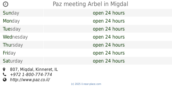
Paz meeting Arbel
807, Migdal
Gas station
read more
22.079 km
פאי
טבריה
Gas station
read more
22.656 km
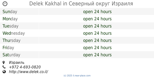
Delek Kakhal
Israel
Gas station
read more
24.784 km
North Star
Rosh Pinna
Gas station
read more
25.03 km
דלק ראש פינה
ראש פינה
Gas station
read more
25.03 km
Delek Rosh Pina
Rosh Pinna
Gas station
read more
25.178 km
פז
דרך הגליל, ראש פינה
Gas station
read more
25.705 km
דלק חצור הגלילית
מעלה חוני המעגל, חצור הגלילית
Gas station
read more
27.853 km
תחנת דלק סונול
חיים וייצמן 22, צפת
Gas station
read more
28.245 km
Delek
Ha-Gdud ha-Shlishi Street 1, Safed
Gas station
read more
📑
all categories
Accounting
Administrative area level 1
Administrative area level 2
Airport
Amusement park
Aquarium
Art gallery
Atm
Bakery
Bank
Bar
Beauty salon
Bicycle store
Book store
Bowling alley
Bus station
Cafe
Campground
Car dealer
Car rental
Car repair
Car wash
Casino
Cemetery
Church
City hall
Clothing store
Colloquial area
Convenience store
Country
Courthouse
Dentist
Department store
Doctor
Electrician
Electronics store
Embassy
Establishment
Finance
Fire station
Florist
Food
Funeral home
Furniture store
Gas station
General contractor
Grocery or supermarket
Gym
Hair care
Hardware store
Health
Hindu Temple
Home goods store
Hospital
Insurance agency
Intersection
Jewelry store
Laundry
Lawyer
Library
Light rail station
Liquor store
Local government office
Locality
Locksmith
Lodging
Meal delivery
Meal takeaway
Mosque
Movie rental
Movie theater
Moving company
Museum
Natural feature
Neighborhood
Night club
Painter
Park
Parking
Pet store
Pharmacy
Physiotherapist
Place of worship
Plumber
Point of interest
Police
Political
Post office
Premise
Real estate agency
Restaurant
Roofing contractor
Route
Rv park, camping
School
Shoe store
Shopping mall
Spa
Stadium
Storage
Store
Subpremise
Subway station
Supermarket
Synagogue
Taxi stand
Train station
Transit station
Travel agency
University
Veterinary care
Zoo
administrative area level 3
administrative area level 4
sublocality level 1
↑