Cafe nearby cofix
Israel
Cafe nearby cofix
cofix
5, Herzl Street, Netanya, HaSharon, IL Israel
contacts phone
:
+972 9-973-3150
website:
www.cofix.co.il
Latitude:
32.3299829
, Longitude:
34.8534749
larger map & directions
read more
nearest Cafe
30 m
Milky Way
Herzl Street 6, Netanya
Cafe
read more
35 m
Papa Albert Cafe
Herzl Street 3, Netanya
Cafe
Food
Point of interest
Establishment
read more
91 m
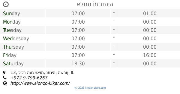
אלונזו
כיכר העצמאות 13, נתניה
Cafe
read more
154 m
Bazal Yarok
Kikar HaAtsmaut 12, Netanya
Cafe
read more
156 m
Pain Au Chocolat
הרצל 15, נתניה
Cafe
read more
183 m
Vicolad
Tel Khai Street 6, Netanya
Cafe
read more
186 m
ברדו (מרכז העיר)
שטמפפר 4, Tel Hai 3, Netanya
Cafe
Food
Point of interest
Establishment
read more
286 m
רימיני&וואפלס
מדרחוב קראוזה 5 ,מתחם אסטרל נתניה IL
Cafe
read more
327 m
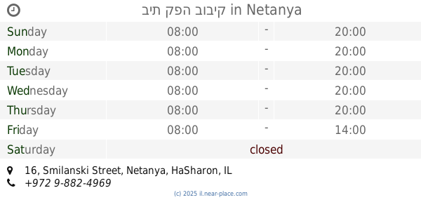
בית קפה בוביק
Smilanski Street 16, Netanya
Cafe
Food
Point of interest
Establishment
read more
397 m
טלי בלחץ
David Remez Street 20, Netanya
Cafe
Food
Point of interest
Establishment
read more
410 m
קפה השרון
Sha'ar HaGai Street 3, Netanya
Cafe
Food
Point of interest
Store
Establishment
read more
424 m
קפה דל מאר
גד מכנס 10, נתניה
Cafe
read more
427 m
ג'ימיס
הנוטע 1, נתניה
Cafe
read more
427 m
Jimmy's
Ha-Note'a Street 1, Netanya
Cafe
read more
453 m
בירכת הלחם, בית מאפה, מאפיה
Sha'ar HaGai Street, Netanya
Cafe
Food
Point of interest
Establishment
read more
470 m
קפה קפה
חוף סירונית, נתניה
Cafe
read more
470 m
Cafe cafe
חוף סירונית, נתניה
Cafe
read more
475 m
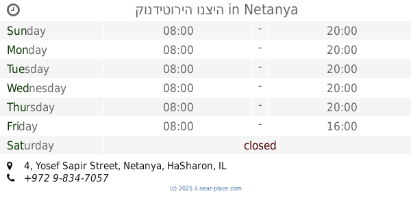
קונדיטוריה ונציה
Yosef Sapir Street 4, Netanya
Cafe
Food
Point of interest
Establishment
read more
475 m
ונציה
שער הגיא 7, נתניה
Cafe
read more
545 m
Cofix
Sderot Binyamin 7, Netanya
Cafe
read more
627 m
קפה קרמל
21, Sderot Binyamin, Netanya
Cafe
read more
773 m
סנדויץ מכל הלב
היהלום 18, נתניה
Cafe
read more
836 m
דיל קפה שרון
Petah Tikva Street 3, Netanya
Cafe
read more
903 m
Aroma
Herzl Street 60, Netanya
Cafe
read more
948 m
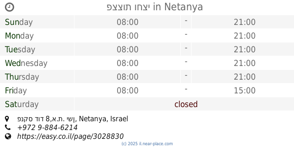
פצצות וחצי
פנקס דוד 8,א.ת. ישן, Netanya
Cafe
Food
Point of interest
Establishment
read more
📑
all categories
Accounting
Administrative area level 1
Administrative area level 2
Airport
Amusement park
Aquarium
Art gallery
Atm
Bakery
Bank
Bar
Beauty salon
Bicycle store
Book store
Bowling alley
Bus station
Cafe
Campground
Car dealer
Car rental
Car repair
Car wash
Casino
Cemetery
Church
City hall
Clothing store
Colloquial area
Convenience store
Country
Courthouse
Dentist
Department store
Doctor
Electrician
Electronics store
Embassy
Establishment
Finance
Fire station
Florist
Food
Funeral home
Furniture store
Gas station
General contractor
Grocery or supermarket
Gym
Hair care
Hardware store
Health
Hindu Temple
Home goods store
Hospital
Insurance agency
Intersection
Jewelry store
Laundry
Lawyer
Library
Light rail station
Liquor store
Local government office
Locality
Locksmith
Lodging
Meal delivery
Meal takeaway
Mosque
Movie rental
Movie theater
Moving company
Museum
Natural feature
Neighborhood
Night club
Painter
Park
Parking
Pet store
Pharmacy
Physiotherapist
Place of worship
Plumber
Point of interest
Police
Political
Post office
Premise
Real estate agency
Restaurant
Roofing contractor
Route
Rv park, camping
School
Shoe store
Shopping mall
Spa
Stadium
Storage
Store
Subpremise
Subway station
Supermarket
Synagogue
Taxi stand
Train station
Transit station
Travel agency
University
Veterinary care
Zoo
administrative area level 3
administrative area level 4
sublocality level 1
↑