Bus station nearby ת. רכבת בית יהושע
Israel
Bus station nearby ת. רכבת בית יהושע
ת. רכבת בית יהושע
ישראל
contacts phone
:
+972
Latitude:
32.262543
, Longitude:
34.860043
larger map & directions
read more
nearest Bus station
99 m
Bet Yehoshua Railway Station
Israel
Bus station
read more
255 m
ת. רכבת בית יהושע/553
Israel
Bus station
read more
256 m
Road 553/Bet Yehoshua Railway Station
Israel
Bus station
read more
295 m
Yahalom/Sapir
Israel
Bus station
read more
323 m
Yahalom/Shani
Israel
Bus station
read more
802 m
Odem/Shoham
Israel
Bus station
read more
836 m
צומת בית יהושע
Israel
Bus station
read more
836 m
Road 553/Adam
Israel
Bus station
read more
877 m
Kfar Neter A
Israel
Bus station
read more
877 m
'כפר נטר א
Israel
Bus station
read more
1.083 km
Amphitheatre
Israel
Bus station
read more
1.185 km
Tel Yitshak/Massuah Museum
Israel
Bus station
read more
1.2 km
'כפר נטר ג
Israel
Bus station
read more
1.2 km
Kfar Neter G
Israel
Bus station
read more
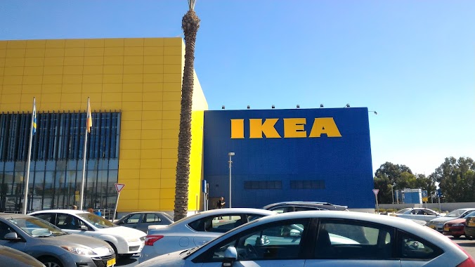
1.343 km
Ikea
Israel
Bus station
read more
1.343 km
איקאה
Israel
Bus station
read more
1.631 km
מנחם סבידור/סביון
Israel
Bus station
read more
1.688 km
Eldad School/Golda Meir Boulevard
Israel
Bus station
read more
1.751 km
HaSharon/HaPragim
Israel
Bus station
read more
1.924 km
Ne'ot Golda B
Israel
Bus station
read more
1.994 km
זלמן שז''ר/שד. בן גוריון
Israel
Bus station
read more
2.018 km
זלמן שז''ר/אמנון ותמר
Israel
Bus station
read more
2.023 km
שזר\אמנון ותמר
Israel
Bus station
read more
2.029 km
Sapir Railway Station/Isuf
Israel
Bus station
read more
2.085 km
ההדרים/סמטת החרוב
Israel
Bus station
read more
📑
all categories
Accounting
Administrative area level 1
Administrative area level 2
Airport
Amusement park
Aquarium
Art gallery
Atm
Bakery
Bank
Bar
Beauty salon
Bicycle store
Book store
Bowling alley
Bus station
Cafe
Campground
Car dealer
Car rental
Car repair
Car wash
Casino
Cemetery
Church
City hall
Clothing store
Colloquial area
Convenience store
Country
Courthouse
Dentist
Department store
Doctor
Electrician
Electronics store
Embassy
Establishment
Finance
Fire station
Florist
Food
Funeral home
Furniture store
Gas station
General contractor
Grocery or supermarket
Gym
Hair care
Hardware store
Health
Hindu Temple
Home goods store
Hospital
Insurance agency
Intersection
Jewelry store
Laundry
Lawyer
Library
Light rail station
Liquor store
Local government office
Locality
Locksmith
Lodging
Meal delivery
Meal takeaway
Mosque
Movie rental
Movie theater
Moving company
Museum
Natural feature
Neighborhood
Night club
Painter
Park
Parking
Pet store
Pharmacy
Physiotherapist
Place of worship
Plumber
Point of interest
Police
Political
Post office
Premise
Real estate agency
Restaurant
Roofing contractor
Route
Rv park, camping
School
Shoe store
Shopping mall
Spa
Stadium
Storage
Store
Subpremise
Subway station
Supermarket
Synagogue
Taxi stand
Train station
Transit station
Travel agency
University
Veterinary care
Zoo
administrative area level 3
administrative area level 4
sublocality level 1
↑