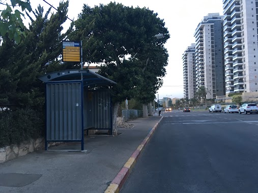
Bus station nearby HaRotem/Ha'Ela
Israel
Bus station nearby HaRotem/Ha'Ela
HaRotem/Ha'Ela
Хайфа, Израиль
contacts phone
:
+972
Latitude:
32.816422
, Longitude:
34.956132
larger map & directions
read more
nearest Bus station
220 m
HaRotem/Ha'Esh'khar
Israel
Bus station
read more
237 m
הרותם/הליבנה
Israel
Bus station
read more
245 m
ההגנה/שער העליה
Israel
Bus station
read more
317 m
בן צור/סעדיה פז
Israel
Bus station
read more
320 m
אנקווה/בר רב האי
Israel
Bus station
read more
323 m
אנקואה/בן צור
Israel
Bus station
read more
419 m
אצ''ל/המלך דוד
Israel
Bus station
read more
526 m
Bar Rav Hai/Marseille
Israel
Bus station
read more
530 m
דרך צרפת/יציאת אירופה
Israel
Bus station
read more
583 m
HaMelekh Shlomo/Etzel
Israel
Bus station
read more
609 m
Tsarfat Road/Marseille
Israel
Bus station
read more
682 m
Sprinzak
Israel
Bus station
read more
755 m
HaMelekh David/HaMelekh Uziyahu
Israel
Bus station
read more
818 m
HaYam Road
Israel
Bus station
read more
908 m
בודנהיימר/סעדיה גאון
Israel
Bus station
read more
908 m
Bodenheimer/Sa'adia Ga'on
Israel
Bus station
read more
970 m
Pierre Koenig
Israel
Bus station
read more
989 m
המלך שלמה/המלך חזקיהו
Israel
Bus station
read more
989 m
HaMelekh Shlomo/HaMelekh Hizkiyahu
Israel
Bus station
read more
1.021 km
Tsarfat Road/Dreyfus
Israel
Bus station
read more
1.037 km
אסתר המלכה
Israel
Bus station
read more
1.046 km
HaMelekh Shlomo/HaMelekh Amatsyahu
Israel
Bus station
read more
1.074 km
Emile Zola/Victor Hugo
Israel
Bus station
read more
1.134 km
ויקטור הוגו/אמיל זולא
Israel
Bus station
read more
1.184 km
Esther HaMalka/Suva
Israel
Bus station
read more
📑
all categories
Accounting
Administrative area level 1
Administrative area level 2
Airport
Amusement park
Aquarium
Art gallery
Atm
Bakery
Bank
Bar
Beauty salon
Bicycle store
Book store
Bowling alley
Bus station
Cafe
Campground
Car dealer
Car rental
Car repair
Car wash
Casino
Cemetery
Church
City hall
Clothing store
Colloquial area
Convenience store
Country
Courthouse
Dentist
Department store
Doctor
Electrician
Electronics store
Embassy
Establishment
Finance
Fire station
Florist
Food
Funeral home
Furniture store
Gas station
General contractor
Grocery or supermarket
Gym
Hair care
Hardware store
Health
Hindu Temple
Home goods store
Hospital
Insurance agency
Intersection
Jewelry store
Laundry
Lawyer
Library
Light rail station
Liquor store
Local government office
Locality
Locksmith
Lodging
Meal delivery
Meal takeaway
Mosque
Movie rental
Movie theater
Moving company
Museum
Natural feature
Neighborhood
Night club
Painter
Park
Parking
Pet store
Pharmacy
Physiotherapist
Place of worship
Plumber
Point of interest
Police
Political
Post office
Premise
Real estate agency
Restaurant
Roofing contractor
Route
Rv park, camping
School
Shoe store
Shopping mall
Spa
Stadium
Storage
Store
Subpremise
Subway station
Supermarket
Synagogue
Taxi stand
Train station
Transit station
Travel agency
University
Veterinary care
Zoo
administrative area level 3
administrative area level 4
sublocality level 1
↑