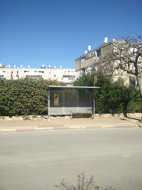
Bus station nearby בלפור/קמיל הויסמנס
Israel
Bus station nearby בלפור/קמיל הויסמנס
בלפור/קמיל הויסמנס
נתניה, ישראל
contacts phone
:
+972
Latitude:
32.344115
, Longitude:
34.86237
larger map & directions
read more
nearest Bus station
43 m
Balfour/Camille Huysmans
Israel
Bus station
read more
213 m
HaRav Maimon/Moriya
Israel
Bus station
read more
213 m
הרב מיימון/מוריה
Israel
Bus station
read more
260 m
Nahum Sokolow/Camille Huysmans
Israel
Bus station
read more
261 m
בית הבאר/נחום סוקולוב
Israel
Bus station
read more
391 m
נחום סוקולוב/פייר ז'ילבר
Israel
Bus station
read more
391 m
Nahum Sokolow/Pierre Gilbert
Israel
Bus station
read more
448 m
הגפן\החרוב
Israel
Bus station
read more
485 m
הרב חי טייב/הרב מיימון
Israel
Bus station
read more
495 m
בית חולים לניאדו
Israel
Bus station
read more
595 m
Emek Hefer Mazeh
Israel
Bus station
read more
595 m
עמק חפר מזאה
Israel
Bus station
read more
619 m
Emek Hefer/Trumpeldor
Israel
Bus station
read more
624 m
Nahum Sokolow/Emek Hefer
Israel
Bus station
read more
628 m
HaGefen/En HaTkhelet Blvd
Israel
Bus station
read more
647 m
Dr. Yehoshua Tahon/HaRav Herzog
Israel
Bus station
read more
720 m
Professor Albert Einstein/T. P. Hayout
Israel
Bus station
read more
764 m
Weizmann Boulevard/Yehuda HaNassi
Israel
Bus station
read more
795 m
Emek Hefer/Eliyahu Golomb
Israel
Bus station
read more
867 m
HaGefen/HaShaked
Israel
Bus station
read more
914 m
Dov Hoz/Reines
Israel
Bus station
read more
1.182 km
Andrius/HaRav Kook
Israel
Bus station
read more
1.182 km
אנדריוס/הרב קוק
Israel
Bus station
read more
1.319 km
Elkalai/Yiftah HaGil'adi
Israel
Bus station
read more
1.319 km
אלקלעי/יפתח הגלעדי
Israel
Bus station
read more
📑
all categories
Accounting
Administrative area level 1
Administrative area level 2
Airport
Amusement park
Aquarium
Art gallery
Atm
Bakery
Bank
Bar
Beauty salon
Bicycle store
Book store
Bowling alley
Bus station
Cafe
Campground
Car dealer
Car rental
Car repair
Car wash
Casino
Cemetery
Church
City hall
Clothing store
Colloquial area
Convenience store
Country
Courthouse
Dentist
Department store
Doctor
Electrician
Electronics store
Embassy
Establishment
Finance
Fire station
Florist
Food
Funeral home
Furniture store
Gas station
General contractor
Grocery or supermarket
Gym
Hair care
Hardware store
Health
Hindu Temple
Home goods store
Hospital
Insurance agency
Intersection
Jewelry store
Laundry
Lawyer
Library
Light rail station
Liquor store
Local government office
Locality
Locksmith
Lodging
Meal delivery
Meal takeaway
Mosque
Movie rental
Movie theater
Moving company
Museum
Natural feature
Neighborhood
Night club
Painter
Park
Parking
Pet store
Pharmacy
Physiotherapist
Place of worship
Plumber
Point of interest
Police
Political
Post office
Premise
Real estate agency
Restaurant
Roofing contractor
Route
Rv park, camping
School
Shoe store
Shopping mall
Spa
Stadium
Storage
Store
Subpremise
Subway station
Supermarket
Synagogue
Taxi stand
Train station
Transit station
Travel agency
University
Veterinary care
Zoo
administrative area level 3
administrative area level 4
sublocality level 1
↑